
Dana Point Two ZIP Identities
Dana Point has two ordinary postal ZIPs verified in official city, county, and USPS material: 92629 and 92624. The first carries the Dana Point city-name delivery area. The second uses Capistrano Beach as its postal locality. USPS address lookup decides a particular property's code; a city and state search is a broad check. Neither mode produces a resident directory.
| ZIP | Areas Covered | Post Office | Notes |
|---|---|---|---|
| 92629 | Original and central Dana Point, Lantern District and Village, Dana Hills, Harbor and Headlands, and much of Monarch Beach, Sea Canyon, and Dana Knoll | Dana Point PO, 24551 Del Prado, Dana Point 92629-9998; (949) 496-2787 | Primary city-name delivery area; not the city boundary |
| 92624 | Capistrano Beach and southern Dana Point, including Doheny Village to Camino de Estrella | Capistrano Beach PO, 34281 Doheny Park Road, Capistrano Beach 92624-2200 | Postal locality remains inside incorporated Dana Point |
No unique or PO-box-only ZIP was verified for Dana Point. Nearby postal facilities do not create another Dana Point delivery code. The two rows are the complete ordinary ZIP scope supported by the research, so the local ZIP index should not expand the list based on a neighboring facility, a map label, or a statistical area.
Note: ZIP coverage identifies delivery geography, while the local government line still requires an official boundary or parcel source.
Dana Point 92629 Areas
ZIP 92629 is the main Dana Point city-name delivery area. It reaches the original and central parts of Dana Point, the Lantern District and Village, Dana Hills, the Harbor, and the Headlands. The coverage also includes much of Monarch Beach, Sea Canyon, and Dana Knoll. Those place names help match a record when a source uses a neighborhood term instead of the city name.
Postal coverage still needs an address check. A Harbor or Headlands reference can identify Dana Point geography without answering which agency holds a parcel record. Likewise, a Monarch Beach or Lantern search term can narrow a historic or property record, but it cannot establish a resident. Treat 92629 as a starting key, then preserve the exact street address and parcel reference.
The USPS city and state ZIP lookup is the broad confirmation step for the Dana Point label before a specific address is tested.
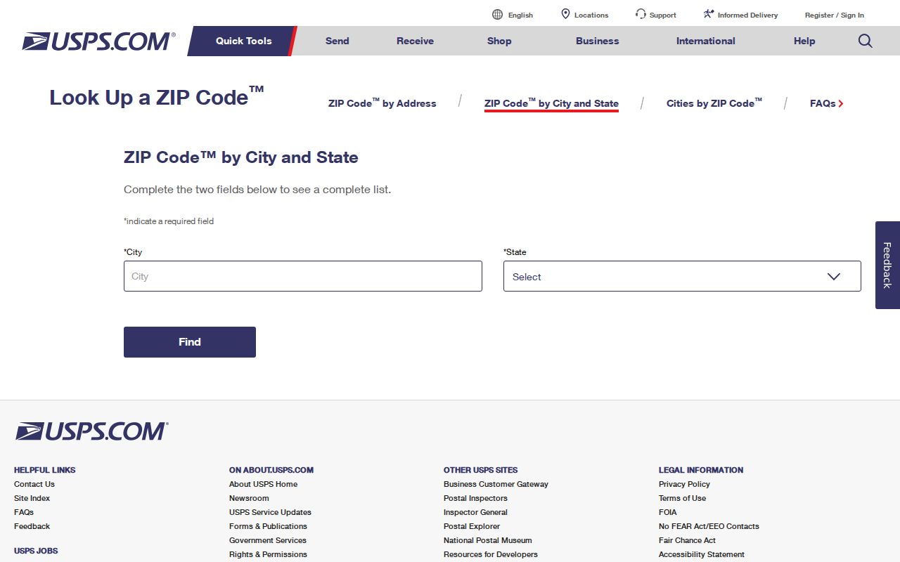
The USPS image shows a delivery lookup, not a list of Dana Point residents. For one parcel, switch to the address mode and keep the returned ZIP with the exact street record.
Dana Point 92624 Locality
ZIP 92624 uses Capistrano Beach as the postal locality for Capistrano Beach and the southern part of Dana Point. The research places the area through Doheny Village and toward Camino de Estrella. City address records show that 92624 Capistrano Beach addresses remain inside incorporated Dana Point. The postal name is therefore a place label for delivery, not proof that a property lies outside the city.
The southern edge carries several useful search terms. Capistrano Beach, Doheny Village, Coast Highway, and Camino Capistrano can appear in different records, while a mailing label may still use Capistrano Beach 92624. Older material may also use a neighborhood or corridor name. Keep the postal locality, civic city, street address, and parcel identifier together instead of treating one label as a complete location record.
Note: A post office listing verifies facility details, not the people who receive mail at that location.
Dana Point ZIP Post Offices
The Dana Point Post Office is listed at 24551 Del Prado, Dana Point, with ZIP+4 92629-9998 and phone (949) 496-2787. The Capistrano Beach Post Office is at 34281 Doheny Park Road, Capistrano Beach, with ZIP+4 92624-2200. Both facility details belong in a Dana Point postal directory because they explain why one incorporated city can carry two postal locality names.
A 2026 Dana Point hearing notice records posting at City Hall, the Dana Point Post Office, and the Capistrano Beach Post Office. That is evidence of public notice locations, not a directory of the people served by either facility. USPS confirms delivery routes and address codes; it does not disclose household membership.
The USPS Dana Point Post Office details provide the facility reference used for the 92629 row.
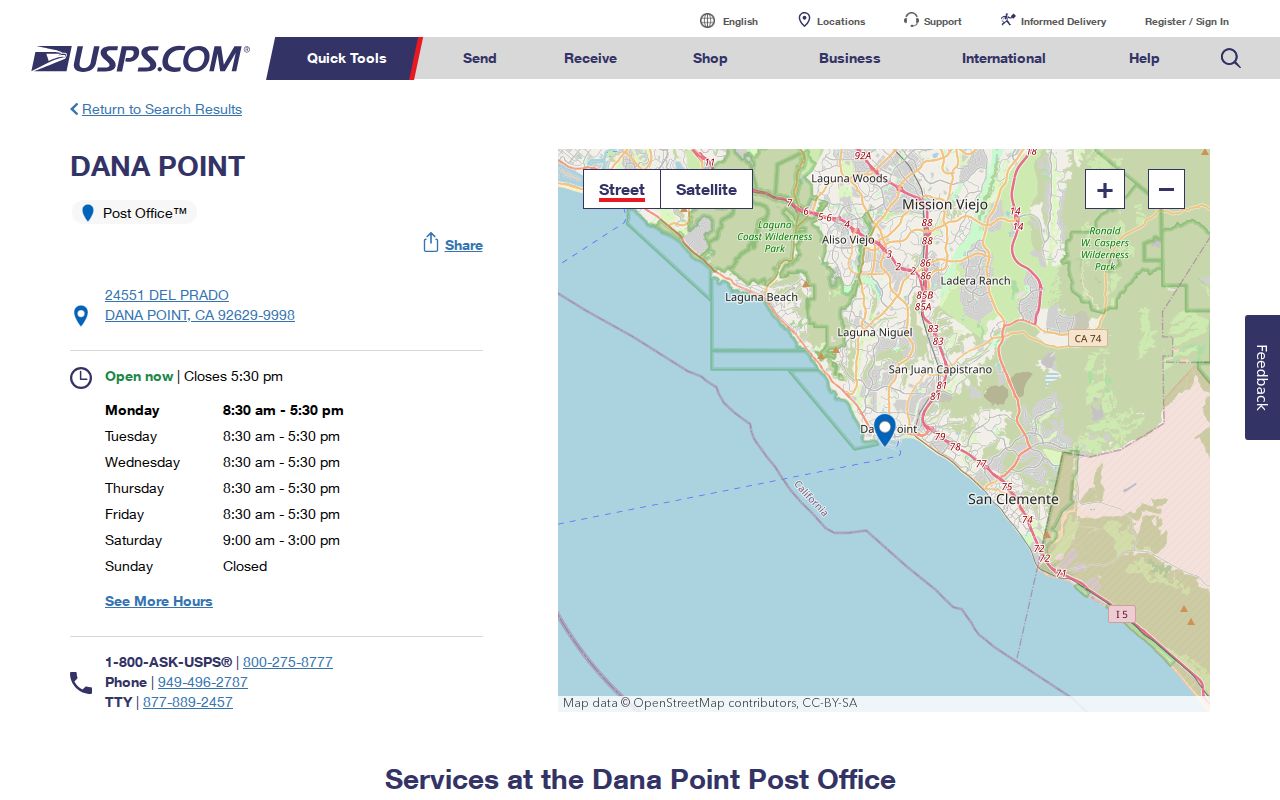
The facility reference helps confirm the postal side of the lookup. It should be paired with an exact property or parcel source when the question concerns a Dana Point record rather than mail delivery.
Dana Point ZIP Search
A useful ZIP code search moves from a broad city label to one exact address. The USPS lookup has a city and state mode for checking the Dana Point combination and an address mode for testing a particular property. The address result is decisive for that property, so it carries more weight than a neighborhood name, a map pin, or a mailing assumption.
Use the two modes for different purposes. City and state can confirm the ordinary Dana Point ZIP choices. Address mode can resolve a boundary question or a Capistrano Beach locality. Record the returned code exactly, including any ZIP+4 detail, before opening a parcel or deed source.
| USPS Mode | Input | Best Use | Result Boundary |
|---|---|---|---|
| City and state | Dana Point, California | Check city-name postal coverage | Broad ZIP confirmation |
| Address | Exact street address | Verify one property | Decisive for that address |
- Start with the city and state mode when the record gives only Dana Point and a general postal area.
- Run the address mode when a street address is available. Save the returned ZIP with the full street spelling.
- Open Dana Point Community View and search the street number and name. The map instructions say city, state, and ZIP are unnecessary for the search.
- Capture the parcel's APN, then move to the appropriate property or recorded-document route. Once the ZIP is narrowed to a street, the Dana Point street directory handles the address-level workflow.
This sequence keeps a postal answer separate from a resident answer. A ZIP narrows the field, an address identifies a parcel, and a custodian's record determines what can be viewed or requested.
Dana Point ZIP Filters
No inspected Dana Point or Orange County portal documents a ZIP-wide public resident output. Community View searches by street or APN and does not document a ZIP filter. The Orange County Assessor web roll asks for an eight-digit APN, suppresses owner-name searching, and does not provide a street-address browse. RecorderWorks offers name, date, document number, APN, and legal-description routes, but no ZIP mode.
Other sources have different limits. Dana Point eTRAKiT provides property permit history, yet the research does not document a ZIP-wide resident output. The Orange County voter self-lookup is authenticated and purpose-limited. An authorized voter file may be sortable by ZIP or address for an approved use, but it is not a public directory. The distinction matters when a postal directory is used for genealogy, parcel research, or civic records.
| Portal or Route | ZIP Filter? | ZIP-Wide Output |
|---|---|---|
| Community View | No documented ZIP filter; search omits city, state, and ZIP | None documented |
| Orange County Assessor | No; APN only | None; basic parcel facts only |
| RecorderWorks | No | None |
| Voter self-lookup | ZIP is not a login field | Authenticated voter only |
| Voter certified-copy form | ZIP is an address field | No browse |
| Authorized voter file | Approved products may contain sortable ZIP or address | Not a public directory |
| USPS | Address or city and state mode | Confirms ZIP, never residents |
| Dana Point eTRAKiT | No documented ZIP-wide resident output | Not established |
The table gives each source its proper role. USPS verifies the delivery code. Community View supplies parcel geography. The Assessor and RecorderWorks support property facts and recorded instruments. eTRAKiT supplies permit history. Voter data remains a statute-based, approved-purpose route under California Elections Code rules, not an open Dana Point resident search. Elections Code sections 2188, 2188.5, and 2194, Government Code section 7924.000, and 2 CCR sections 19001 to 19013 govern that access.
Dana Point ZIP City Limits
A ZIP boundary is built for mail delivery; a city boundary is a legal jurisdiction. Dana Point incorporated on January 1, 1989, and its civic geography includes Dana Point, Capistrano Beach, and Monarch Beach. The Harbor lies within city geography but is county-administered. Those facts explain why a postal locality, a city record, and a service boundary can point to different custodians.
For a property question, use the street address and APN instead of asking a ZIP to answer a city-limit question. Dana Point's public-record request form provides property street address and tract or parcel fields for a property-specific route. A ZIP-wide request cannot substitute for a defined record, date range, or custodian, and it should not be treated as a list of households.
Note: A mailing ZIP can point outside a parcel's city jurisdiction, so postal and civic searches should remain separate.
Dana Point ZIP Geography
Dana Point's postal map makes more sense against its local story. The city is named for Richard Henry Dana Jr., whose 1840 Two Years Before the Mast described Capistrano Bay. City material places the Headlands at about 215 feet and describes a Harbor with more than 2,500 slips and moorings, more than 50 specialty shops and restaurants, and a gateway to 62-acre Doheny State Park. These are geographic anchors, not ZIP populations.
Development history also shapes search terms. Original Lantern neighborhoods began in the early 1900s, growth accelerated after World War II, and later development connected Dana Point, Capistrano Beach, and Monarch Beach. The Plan Dana Point material supplies the local context, while the postal code remains only the delivery layer.
Lantern District and Village records may use the full names Streets of the Green, Blue, Ruby, Amber, Violet, Golden, Silver, Copper, or Crystal Lantern. Search both the complete "Street of the ... Lantern" form and abbreviated variants when a ZIP-level clue leads to older deeds, permits, directories, or newspapers. Monarch Beach is a later master-planned area, the Headlands has sparse parcels and preserve land, and Capistrano Beach and Doheny Village mix older residences with Coast Highway, Camino Capistrano, commercial, and office references.
- Postal ZIP
- A five-digit USPS delivery area. It does not define the Dana Point city limit.
- ZIP+4
- Four extra digits that narrow a five-digit code to a smaller delivery segment.
- PO-box-only ZIP
- A code assigned mainly to post office boxes. None was verified for Dana Point.
- Unique ZIP
- A code assigned to one institution or organization. None was verified for Dana Point.
- Carrier route
- An internal delivery route, not a public roster of Dana Point residents.
- ZCTA
- A Census statistical approximation that must not be labeled as a USPS ZIP population.
No official per-ZIP population was captured in the research. If a Census figure is used elsewhere, it must be labeled with its ZCTA status and data vintage rather than presented as a postal ZIP count.
Dana Point APN Handoff
The address-to-APN handoff turns a ZIP clue into parcel research. In Dana Point Community View, enter a street number and name; city, state, and ZIP are unnecessary. If the APN is already known, the map accepts the form APN:XXXXXXXXX. Zoom until parcel lines appear, click the parcel, and save the address, APN, property summary, and useful layer details.
The Dana Point map instructions describe the parcel workflow and its layers. Community View documents a nine-digit APN syntax, while the Assessor portal asks for exactly eight numeric digits. Follow each interface as written; do not invent a universal hyphen or trim a digit without checking the source.
- Situs address
- The physical parcel location used by GIS, permits, and zoning layers.
- Mailing address
- The destination for correspondence, which may be a PO box or another ZIP and does not prove occupancy.
- Legal description
- Recorded land language such as lot, block, tract, map book and page, or metes and bounds.
- APN
- An assessor parcel number used to connect a mapped parcel with property and recorded-document research.
Handoff: exact address to Community View parcel to APN to the Assessor or RecorderWorks route to a lawful, custodian-held record.
APNs can change after parcel splits or mergers, so a recorded legal description may bridge an address change better than a ZIP. RecorderWorks can search by APN or legal description, but it is an index of recorded instruments, not a ZIP-based household history. Permits in eTRAKiT can add construction chronology from 1989 forward, yet permits also do not prove who lived at a property.