
Map a Dana Point Street
An address-driven Dana Point street directory begins with the number and street, not an assumed owner. Start in Community View and search without city, state, or ZIP. The map may move a street-only query to a vicinity, so a full number gives a cleaner start. Click the parcel and save the property address and APN shown in the bubble. A situs address identifies the physical place tied to the parcel. A mailing address can point elsewhere. It is useful evidence, but it is not proof of occupancy.
Next, carry the APN into the county's property and recording systems. Community View uses a nine-digit APN syntax, written as APN:XXXXXXXXX. The Assessor web form is different: it accepts exactly eight numeric digits and a Submit control. That mismatch is an interface rule, not a reason to invent a universal APN format. The county online result suppresses the owner's name, so the counter or latest recorded deed becomes important when lawful ownership context is needed. A street search can suggest a record trail; it cannot promise a complete resident list.
- Search the number and street in Community View. Click the correct parcel, then record the situs address, APN, and visible planning layers.
- Check the Assessor web form with exactly eight digits. Treat the value and exemption result as a roll snapshot; use the public counter at 500 S. Main Street, second floor, Orange, Monday through Friday, 8 a.m. to 5 p.m., when fuller characteristics or lawful ownership context matters.
- Use the APN or a party name in RecorderWorks. Capture grantor, grantee, document type, recording date, number, and legal description, while remembering that the index has no document images.
- For voter evidence, use an authenticated lookup for your own record, or submit Orange County's purpose-limited data application. It is not an open street browse.
- To reach earlier households, carry address variants through criss-cross directories, censuses, newspapers, and local-history sources. Keep title, occupancy, and historical appearance as separate questions.
Dana Point Street Records
A Dana Point street directory works best when each record set has a narrow job. Community View supplies geometry and address-to-APN links. The Assessor supplies value and exemption data online, with fuller context at the counter. RecorderWorks supplies indexed parties and instruments. Permits add a construction timeline. Authorized voter data can add residence and mailing fields only for a permitted purpose. Historical reverse directories bridge gaps between census years, while a regulated STR list covers only addresses in that program.
When the index points to a document, the County Clerk-Recorder's official copy instructions set out the route from a reference to a deed or map copy.
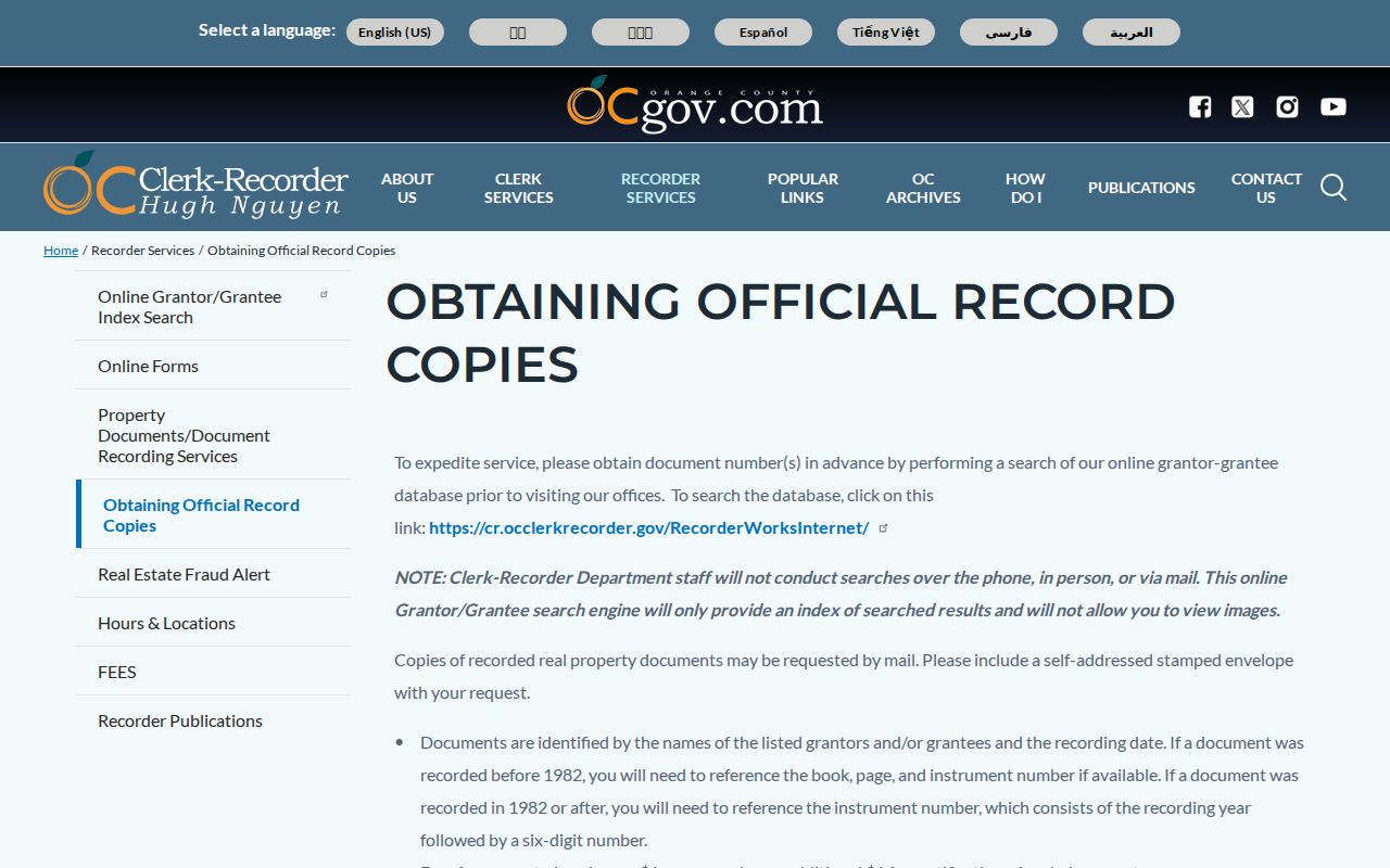
That copy route belongs beside the address chain because an index hit still needs a document request when the recorded text matters.
| Address Record | Keeper | Street Key | What It Contributes |
|---|---|---|---|
| Community View | Dana Point | Number, street, or parcel | Situs, APN, boundaries, photos, zoning, and map layers |
| Assessor web | Orange County Assessor | Eight-digit APN plus Submit | Property, value, exemption, and roll-date facts; owner and street search are suppressed |
| Assessor counter | Orange County Assessor | Parcel reference | Fuller current characteristics and lawful ownership context |
| RecorderWorks | OC Clerk-Recorder | Party, APN, legal description, or document number | Indexed parties, document type, date, number, and recorded reference |
| Pre-1982 index | OC Clerk-Recorder | Book, page, and instrument details | Older deed-chain references at the Santa Ana office |
| eTRAKiT and Permit Center | Dana Point Building and Safety | Property address or city permit record | Applications, plan review, inspections, and public project contacts from 1989 forward |
| STR permit list | Dana Point Code Enforcement | Address, ZIP, APN, or permit | Limited regulated short-term-rental owner, mailing, manager, and permit fields |
| Authorized voter data | Orange County Registrar | Approved request and lawful purpose | Residence, mailing, status, precinct, and participation fields where released |
| Criss-cross directories | Archives and libraries | Historic address-to-occupant entry | Print-year household clues; NARA verifies 1926 and 1929 Orange County evidence |
The chain has a built-in limit. An APN can tie land to several systems, but no row is a resident card. The deed identifies recorded parties, the permit identifies a project and public contacts, and the voter file is purpose-limited. A reverse directory may show a householder or occupant for one print year, not everyone at the address. Read the rows side by side, record the date of each result, and keep a clear line between a current parcel fact and a historical clue.
Note: A parcel record anchors land; it does not turn a Dana Point address into a complete list of people.
Dana Point Street GIS
Community View is the street-browse engine for Dana Point. Search the number and street, or enter the APN syntax shown by the map. The city says city, state, and ZIP are unnecessary in the search box. A street name alone shifts the map to a vicinity. Zoom until parcel lines appear, click inside the target boundary, and capture the popup's property address, APN, photos or bird's-eye links, property details, summary, zoning classification, directions, and layer attributes. Owner display is not promised.
The county's land records overview adds the survey and geospatial context behind parcel research.
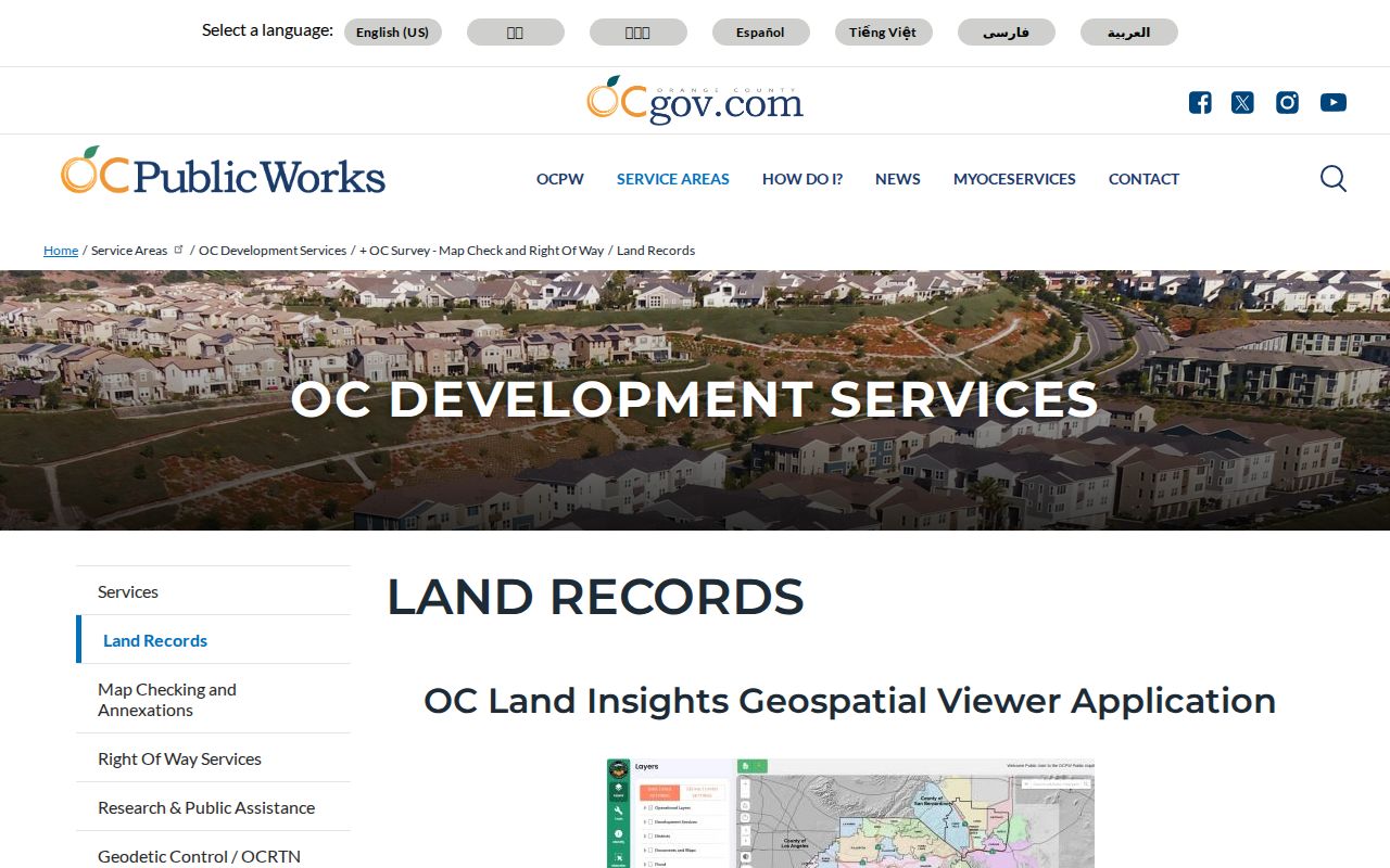
It reinforces why a street sweep starts with boundaries and APNs rather than a guessed person name.
| Control | Type | Required | Street Method |
|---|---|---|---|
| Search | Free text and autocomplete | No | Enter a number and street; a street alone moves to the vicinity |
| APN syntax | Free text | No | Use APN:XXXXXXXXX as shown by Community View |
| View | Dropdown | No | Change the map or layer view |
| Plus and minus | Zoom controls | No | Zoom until parcel outlines are clear |
| Drag | Map pan | No | Move along the street or across the block |
| Parcel click | Identify control | No | Left-click inside a boundary to open its record bubble |
| Property Lines and Parcel Information | Layer toggles | No | Turn on boundaries before comparing nearby parcels |
For a full Dana Point street sweep, turn on Property Lines and Parcel Information, then add only the layers that answer the question. The map includes color aerials, beaches, city boundary, coastal zone, Coastal Commission appeals, fire hazards, land use, parks, parcel information, PRDs, specific plans, trails, contours, water and sewer districts, wedding sites, and zoning or classification. It does not document a radius, buffer, or export tool. Use visual parcel-by-parcel browsing when the search expands along a block, and verify consequential map information with City Hall.
Address record terms.
- APN
- An assessor parcel number that connects a mapped property to assessment and recording research; each portal may format it differently.
- Parcel
- A defined piece of land shown by boundary lines and tied to an APN, legal description, and situs address.
- Situs address
- The physical address of the land or improvement. It is not automatically the owner's mailing address.
- Legal description
- Recorded land language, such as a lot, block, tract, parcel-map reference, or metes-and-bounds description.
- Plat
- A recorded map that describes lots, blocks, tracts, or parcel relationships and can help bridge an address change.
- Criss-cross directory
- A historical reverse directory arranged by address, often leading from a street location to a householder or occupant entry.
Dana Point Assessor by Address
The Orange County Assessor portal is intentionally narrow. Its search field is APN, exactly eight numeric digits. Press Submit after entering the value. The public web result gives basic property, assessed value, exemption, and roll-date information tied to the January 1, 2026 roll closure; later changes may not appear. California disclosure rules suppress an online owner-name search, and there is no public street-address browse. The web form therefore cannot turn a street directory into a name list. For fuller and current characteristics or lawful ownership context, use the Assessor public counter, not a guessed third-party source.
| Field or Control | Type | Required | Format and Limit |
|---|---|---|---|
| APN (8 numeric digits) | Text | Yes | Enter exactly eight digits; no online owner-name or street-address search |
| Submit | Button | Action | Runs the APN lookup after a valid value is entered |
The Assessor's public-records contact route is the counter and request fallback when the online form cannot search by owner or street.
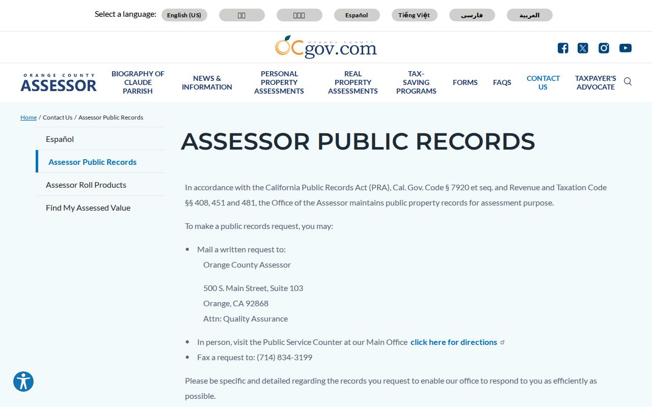
Use that route for current characteristics and lawful ownership context, while the web roll remains an APN-only snapshot.
The counter listed for the property-records route is 500 S. Main Street, second floor, Orange, Monday through Friday, 8 a.m. to 5 p.m. It can supply fuller roll context, but it still does not identify non-owner occupants. Pair an APN result with the most recent deed, and label every conclusion by source and date. A mailing address may be outside the parcel's ZIP or city.
Dana Point Street Deed Chain
RecorderWorks is the county's grantor-grantee index, not a street-address sale-history screen. It covers computerized records from January 4, 1982 to the present. Search by party with LAST FIRST, by date range, APN, document number, legal description, or a controlled document type. A grantor is the party transferring an interest; a grantee receives it. Capture the party role, document type, recording date, instrument number, APN or legal description, and related instruments. Selecting a document number opens metadata, not an image. Staff will not conduct the name search for a caller, visitor, mail requester, or in-person requester.
Once the latest deed or lawful counter result supplies a name, search that party as a grantee. Then search the earlier grantor as a prior grantee and repeat. APN and legal description provide continuity when names vary. At the 1982 boundary, shift to Santa Ana's older index books and microfiche. Pre-1982 copies need book, page, and instrument details when available. Copies may be viewed at the office or ordered by mail with a self-addressed stamped envelope and payment. The research notes $1 per page plus $1 for certification, document, or map. Post-1982 instrument references use a year plus six digits. Annual continuous instrument numbers replaced deed book and page references in 1982, although tract and parcel maps retain book and page.
Note: The RecorderWorks index identifies instruments, while an official copy confirms the recorded document text and certification path.
Dana Point Street Permit Trail
Permit records add dates to a Dana Point address trail. Dana Point eTRAKiT reaches back to incorporation in 1989 and covers building, combination, mechanical, electrical, plumbing, pool or spa, solar, and occupancy records. Public results can supply applications, plan-review steps, inspection history, and public applicant, owner, or contractor evidence. The city's Building and Safety information is the related office route. Current unauthenticated fields were not exposed in the research, so a specific result screen should not be promised. A permit marks work or contact, not the identity of every person at the address.
Permit Center access is broader than the web. The lobby is open Monday through Thursday 7:30 a.m. to 5:30 p.m. and Friday 7:30 a.m. to 4:30 p.m.; the walk-in counter runs Monday through Friday 8 a.m. to 3:30 p.m. Over-counter review is Tuesday and Thursday 8 a.m. to noon and 1 to 3:30 p.m. Building can be reached at (949) 248-3547, fees at (949) 248-3594, code at (949) 248-3564, planning at (949) 248-3568, and public works permits at (949) 248-3509.
A Dana Point address-specific public-record request form may be submitted by email, fax, mail, or counter. It has fields for street address, tract or parcel number, time frame, and record type. Paper, microfilm or microfiche, fax, large-format, postage, and statutory charges vary. Building plans may be reviewed but not copied or distributed without written owner and design-professional permission under Health and Safety Code section 19851.
Dana Point Street STR Records
Dana Point's STR list is a narrow address record, not a general street directory. The published program list can include a licensed address, permit, ZIP, APN, owner or mailing address, contact or manager, coastal-zone status, and permit type. It is useful when a street search intersects a regulated short-term-rental permit, but its scope is limited to that program and time. It cannot be used to infer ordinary households or fill gaps for addresses outside the program. The Dana Point STR list should be read as a program inventory.
The list also shows why a rich field set needs a label. An owner or mailing address is not a situs occupant. A manager contact is not a household roll. Read the permit status and program context before comparing it with Community View or RecorderWorks. If an address is absent, the absence says only that the limited list did not provide a matching program record. It does not show that no one lives there, that no work occurred, or that the parcel lacks another public record.
Dana Point Street Voter Rules
The Orange County voter self-lookup is for the voter who is proving their own record. It asks for date of birth, the last four digits of a driver's license or California ID, or the last four of an SSN when no license exists, plus the first three letters of the first name. Submit follows verification. The result can show registration status, name, mailing address, voter status, political party, voting history, and elected districts or officials. It is authenticated self-service, not an open Dana Point street directory. Never place another person's identifying credentials into the form.
An approved full-file route is different. The Orange County voter-data application requires an original wet signature, in-person or mail delivery, a permitted-purpose narrative, supporting proof, a data-security and confidentiality explanation, photo ID, and prepayment; email and fax are not accepted. A specific-record request can name up to ten voters with first and last name, date of birth, address, and other identifying facts. The county may accept payment in person or through its online store, with pickup or paid shipping and no fixed turnaround. Elections Code sections 2187 and 2194, 2 CCR section 19003, and related California rules limit use. The state election-access rules do not create a casual street browse.
Authorized source files can contain residence, mailing, status, precinct, and participation fields, but not ballot choices. Driver or state-ID numbers, SSNs, signatures, and confidential address-program entries remain protected. The Registrar's dedicated route is at 1300 S. Grand Avenue, Building C, Santa Ana, Monday through Friday, 8 a.m. to 5 p.m. Voter evidence belongs in a street directory only as a lawful, purpose-bound confirmation.
Note: An approved voter-data release still follows its stated purpose, security promises, and no-misuse conditions.
Dana Point Lantern Street Names
Street-name variation matters in Dana Point's oldest planned core. Lantern District or Lantern Village searches should keep the full phrase Street of the named-color Lantern, then test shortened Street of... and ordinary abbreviation variants. Named colors in the research include Green, Blue, Ruby, Amber, Violet, Golden, Silver, Copper, and Crystal Lantern. Preserve the exact spelling and order when moving between deeds, permits, directories, and newspapers. A search for a modern shorthand can miss a historic reference.
That naming history reflects S.H. Woodruff's 1920s planned village and the early Lantern neighborhoods. It helps separate older original Dana Point evidence from later Monarch Beach tract, deed, permit, and association records. Capistrano Beach and Doheny place-name variants matter at the south end, while Headlands parcels can be sparse and harder to sweep visually. For the historical reverse volumes themselves, the Dana Point city directory collections page owns the shelf and year detail; the street workflow only uses those volumes for address-to-occupant clues.
Dana Point Address Changes
Dana Point Community Development and Building administer address assignments and changes. The current addressing fee schedule lists $63 for an address assignment, $63 for an address change only, $1,173 plus $31 per address for a public street-name or address change, and $1,059 plus $31 per address for a private street, plus $31 per address. Use the addressing-change request route and ask for the actual case, resolution, or supporting record. The schedule's July 1, 1990 effective notation is a fee date, not proof of a citywide renumbering event. No authoritative citywide renumbering year was found.
Postal geography can complicate a Dana Point street directory search. ZIP 92629 covers much of central Dana Point, the Lantern area, Dana Hills, Harbor, Headlands, and much of Monarch Beach or Sea Canyon. ZIP 92624 serves Capistrano Beach and southern Dana Point, including the Doheny Village and Camino de Estrella context. Capistrano Beach remains an incorporated Dana Point area even when the postal locality differs. The Harbor lies within city geography but is county-administered, another mailing and jurisdiction mismatch. Use a specific address lookup for the final ZIP, and do not treat a ZIP as the city boundary. Nearby ZIPs are not Dana Point ZIPs merely because neighboring facilities use them, and no unique or PO-box-only Dana Point ZIP was verified. Community View's nine-digit APN display and the Assessor's eight-digit input are separate interface conventions; recorded lot, tract, parcel-map, or metes-and-bounds language can bridge splits, mergers, or address changes.
Note: The July 1, 1990 notation belongs to the fee schedule and does not establish a citywide renumbering event.
Dana Point Street Records Before 1989
Jurisdiction sets the first boundary for an older Dana Point street search. Orange County separated from Los Angeles County and began operating on August 1, 1889. Deeds, court material, and probate evidence for the Dana Point area before that date may sit in Los Angeles County or a predecessor jurisdiction rather than being missing. Later county property, vital, directory, map, and newspaper material is held through Orange County channels, including the Orange County Archives. No defined courthouse fire or flood explains a Dana Point records gap in the research.
Dana Point incorporated in 1989. Before cityhood, permits, planning, and local-government evidence may be tied to county administration or predecessor communities such as Capistrano Beach. Incorporation begins the city's own minutes, contracts, permits, and public-record request trail. A street directory that crosses the 1989 line should therefore change custodians, not assume one city series runs backward without interruption.
- 1889: County separation creates the Orange County custody line for later records.
- Before 1989: Address evidence may use county and community names rather than a standalone Dana Point municipal file.
- 1989 forward: City permits, planning files, contracts, and local requests join the county's deed, assessment, GIS, and voter records.
What Dana Point Streets Cannot Show
No public source creates a complete Dana Point household card. Community View shows parcels and planning layers, not occupants. The online Assessor roll suppresses the owner name. RecorderWorks shows indexed parties, not every person at the situs. A permit shows work and public contacts, not who stayed at the property. Utilities, delivery accounts, and DMV customer addresses are not public household lists. Voter material is purpose-limited, and confidential address-program entries may be omitted. These gaps are boundaries of the records, not clues that justify filling names from guesswork.
Use a parcel, APN, document number, legal description, or dated permit as the anchor. When the question shifts from a whole street to one named person, the Dana Point resident lookup workflow can handle identity checks without turning the street record into a personal dossier. Keep public records for family history, property history, reconnecting, and civic research. Penal Code section 646.9 addresses stalking, and Code of Civil Procedure section 527.6 provides a civil-harassment path; public availability does not make threatening use lawful.
Lawful use. Dana Point address records support personal, lawful research, family history, property history, and civic questions. A public source does not authorize stalking, harassment, intimidation, or harm, and California law can impose criminal or civil consequences.